The Canigou


-
Read more...Open or Close
The Canigou
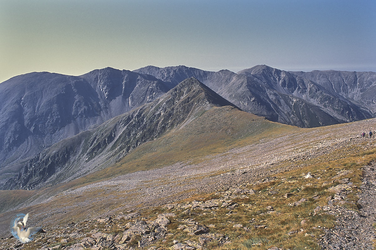
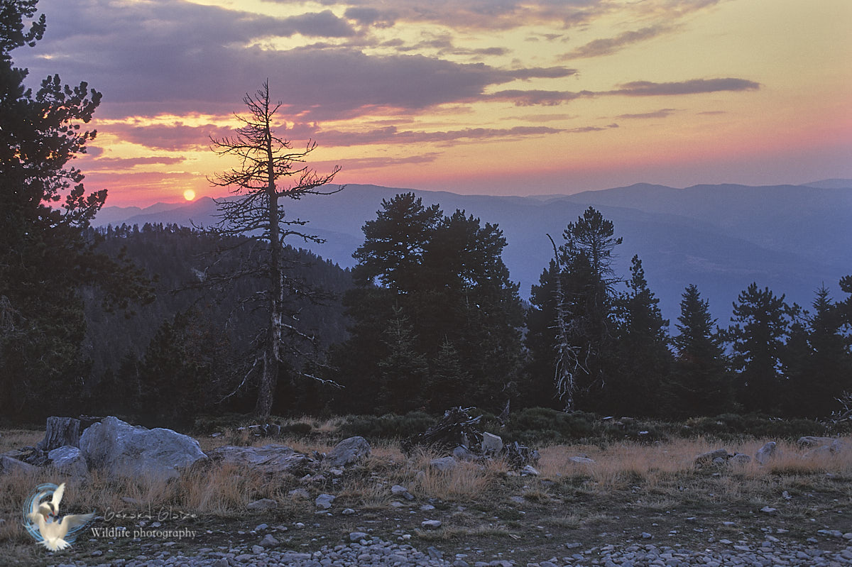
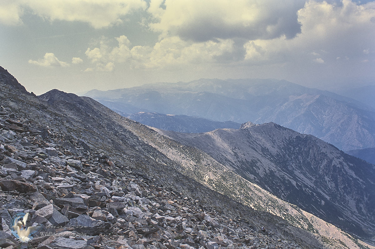
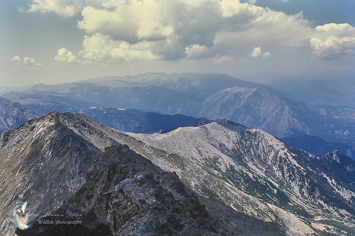
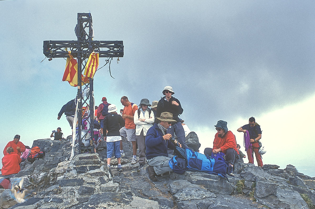
The Canigou is the sacred mountain of the Catalans, on both sides of the "France / Spain" border.
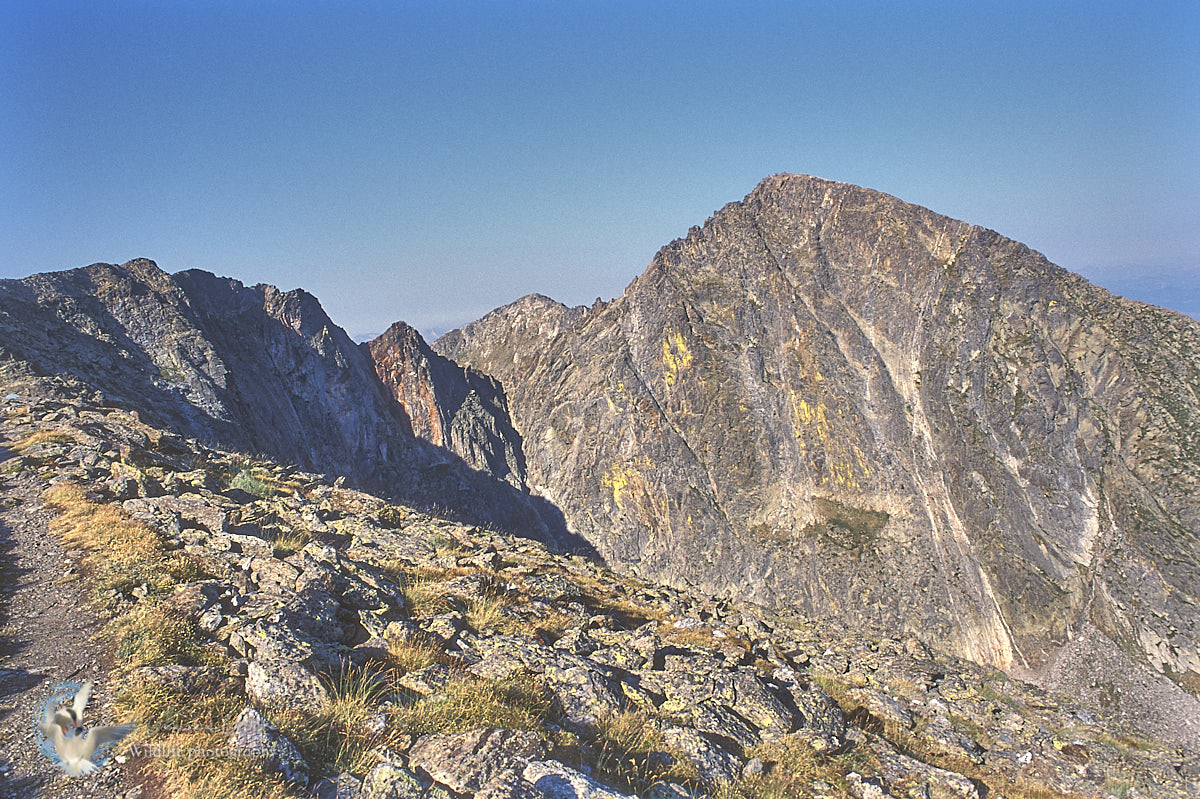
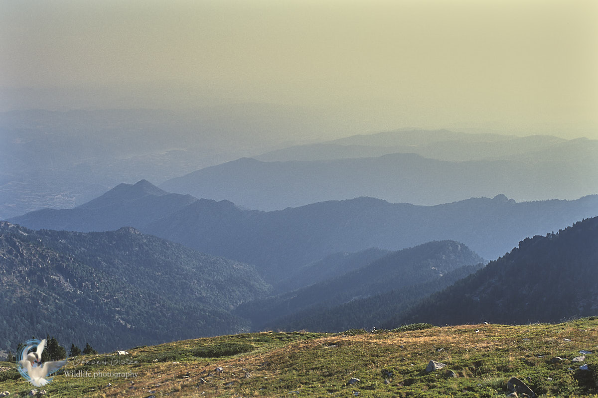
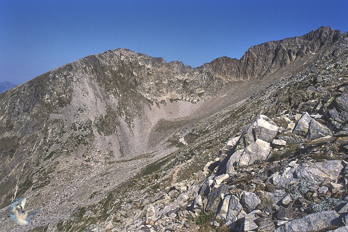
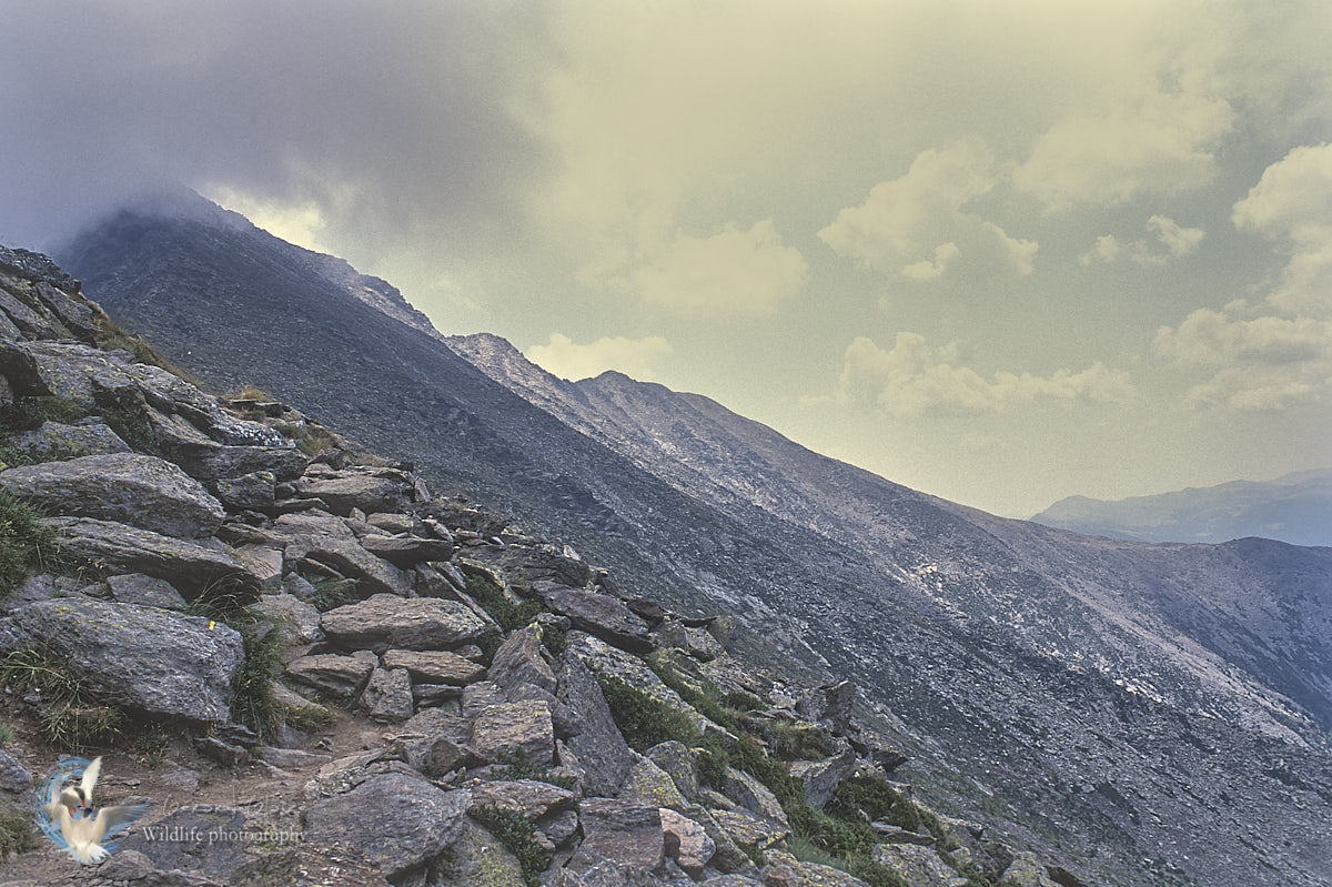
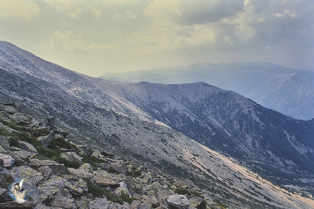
The first particularity of the massif is its very clear isolation at the end of the Pyrenean chain at more than 2,700 meters, at a distance very close to the sea. The Canigou massif is located in the Conflent region, in the eastern Pyrenees, and dominates Roussillon from these 2785 meters. Whether you are on the peaks of Corbières, Conflent, Cerdagne or in the Perpignan plain, and even on the beaches of Roussillon, you only see him. At the very top, a cross bears the Catalan flag. From the sea to the Carlit, from the Madres massif to the Arrie peaks, from the peaks of Vallespir to that of the Carança, the gaze is a little more amazed at every moment.
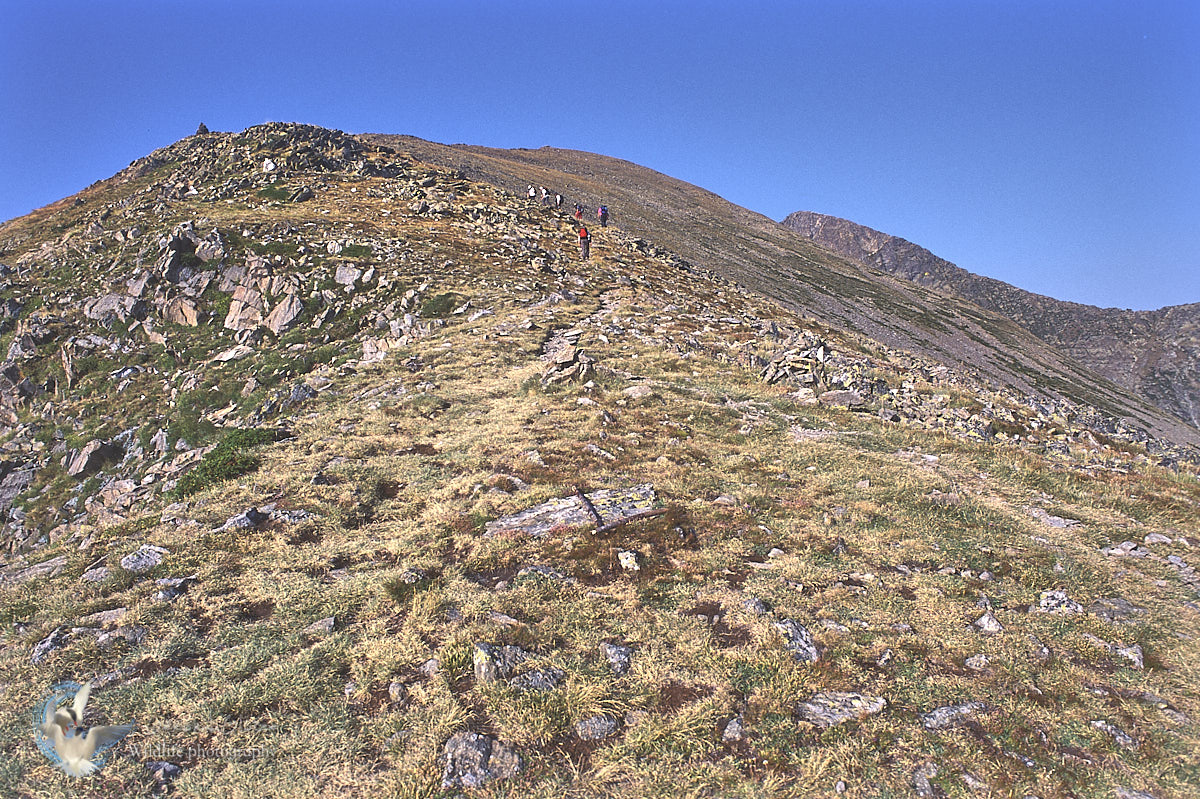
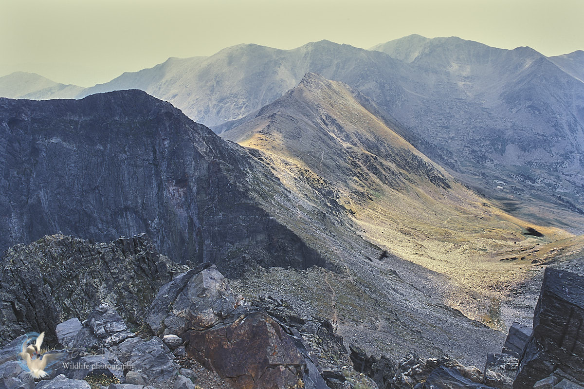
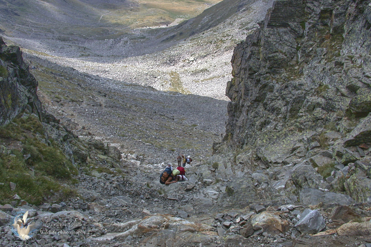
The climate is typically Mediterranean in the plains but deteriorates rapidly with altitude, becoming alpine near the peaks.The quickest access to the Pic is undoubtedly from the Cortalets refuge at 2,150m, 2 hours of walking. The most popular access to the Pic is by climbing the chimney from the refuge of Marialles at 1,718m, 4h one way.
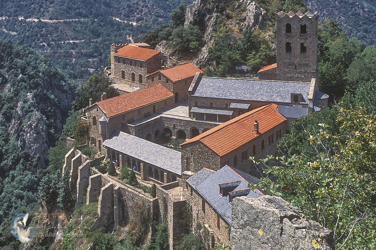
This massif shelters the famous Abbey of Saint Martin du Canigou, built in the 11th century on the northern flank of Canigou and rehabilitated from 1902. It is perched on a rocky promontory, at 1,100 meters above sea level, and dominates impressive gorges. The Canigou massif also shelters the priory of Sérabonne.
Difficult today to imagine the Canigou massif as a mining site. However, iron brought the mountains, the Conflent valley and the Vallespir valley to life. Traces of ancient mines have been uncovered. A booming activity in the Middle Ages which gradually declined from the 18th century. The Canigou mines will not survive the arrival of industrialization and blast furnaces.
This series of photos was taken in argentic film.